
Wadis · From Jeddah
Al Wuhayt
A rural highland reference southwest of Taif, with valleys and agricultural land.
Read the field notesWadis, coastlines and open landscapes for your next day out from Riyadh or Jeddah. A separate field guide, made for planning beyond the photo feed.
Routes near Makkah need extra planning: check current official entry requirements and choose a permitted route. A location in Makkah Province is not necessarily inside the restricted city.
Some trips reach Taif, Zulfi or other areas beyond the city. Distances are approximate routes from a city reference, not from your location. An entry is a planning reference, not confirmation of vehicle access or camping permission.
50 matching entries
A rural highland reference southwest of Taif, with valleys and agricultural land.
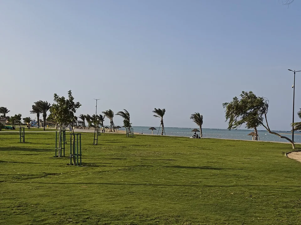
Read the field notesA coastal point described in an older traveller account near Rabigh; current beach access and camping rules are not established.
Read the field notesA coastal lagoon reference northwest of Rabigh; public access, fishing and overnight use need separate confirmation.
Read the field notesA wooded national park in Taif, named in the NCVC 2025 camping guide.
Read the field notesA mountain-valley reference along the Al Shafa route; the mapped mosque is a road reference only.
Read the field notesA highland summit reference around Al Shafa, south of Taif; the final approach is not verified.
Read the field notesA broad wadi reference in the Taif area; it does not identify a specific visitor stopping point.
Read the field notesAn open-coast reference at Masturah, north of Rabigh.
Read the field notesA traveller-named valley in the Al Shafa / Taif highlands; the name-to-pin match remains unresolved.
Read the field notes